
Saturday, Uwe and I met up and drove to the Desert Divide area. The plan was to hike Ken Point, Butterfly Peak, and Rock Point. The weather started out perfectly. The trails were well maintained and there has been a new trail portion which now avoids bushwhacking about the mines in the area. Unfortunately on the way up we did not take the new trail and instead took the bushwhack route John and Uwe did in 2015. We headed to Ken Point, crossing Live Oak Canyon. At the intersection of the PCT we met 2 hikers and those were the only people we saw all day. As we started up Ken Point, a quick moving cold front came in with ferocious winds. It was hard staying in a straight path along the ridge. We did not know how strong the wind was, but we termed it snot-slinging wind. Our noses were running and the wind was strong enough to sling the snot right out of our noses.
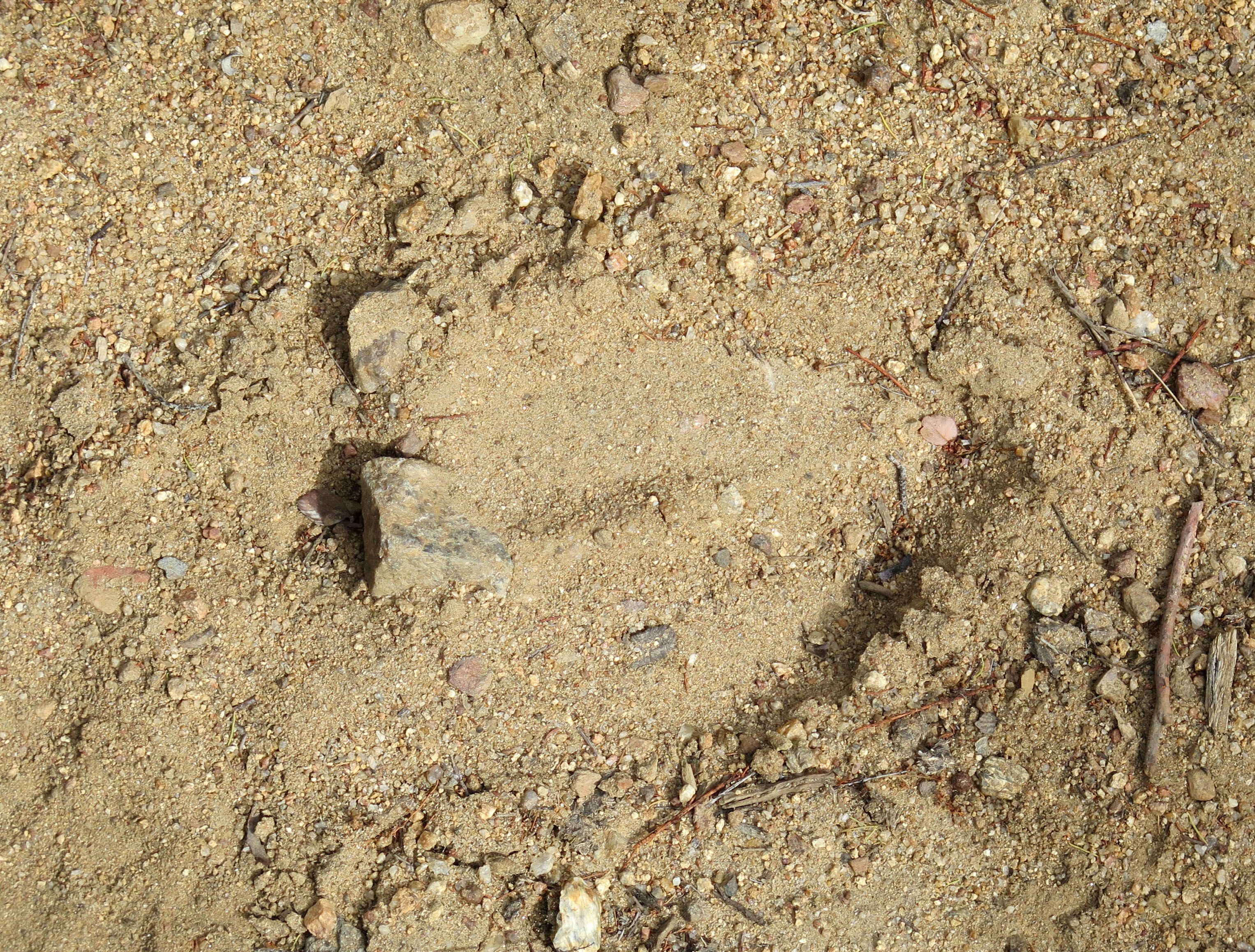
From Ken we retraced our trail to a ravine to start up Butterfly Peak. Along the way we saw some interesting track. They were as large as a horse track, of which there we some to compare, but there were two toed shaped like a cow’s but without hoofs. One guess is a llama’s print. We decided to take a new ravine route up Butterfly. Although a ravine is not our first choice up a mountain, there was a use trail and several cairns. This trail avoided the ridge rock scramble that John and Uwe took in 2015.
After some nourishment, we headed down and for Rock Point. After a very steep climb, I tried to climb the summit rock and strike a pose like John’s picture of 2015. I could not find an easy way up with tired old skinny legs, so John’s picture remains the standard for this peak.
A quick trip back to the truck netted us 14.6 miles and 3650 vertical feet. (Please click on any picture to enlarge to see slide show)


