My friend Alex and I wanted to do some exploring in the Mojave Preserve and Death Valley during the cooler winter season. An opportunity opened itself for us to spend 4 days over Christmas out there. Here are some impressions from this trip. The report is split up in 4 posts with links to the next/previous post in each one.
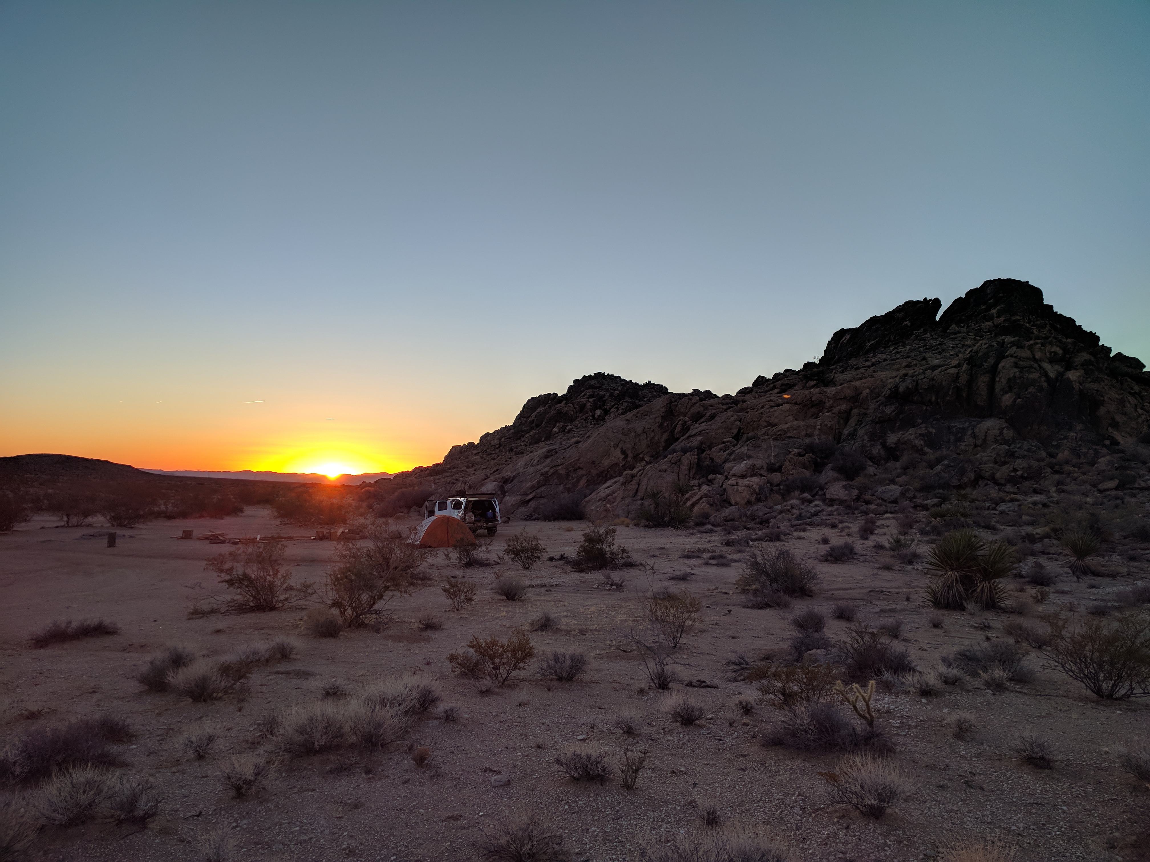
We headed out on a Thursday evening to the Mojave Preserve with the goal to hike up Edgar Mountain, the Providence Mountains highest point on Friday. We arrived well after dark and found a camp spot close to Black Canyon Road just north of the intersection with Essex road. It was cold and windy so we quickly set up camp and crawled into our sleeping bags.
Friday morning we got up around sunrise, prepared some hot oatmeal and a hot beverage, packed up our camp, and drove over towards the Providence Mountains State Recreation Area. A few miles down Essex road we encountered a closed gate. The recreation area was supposed to be open at 8am, but by 8:10 the gate was still closed. So we parked and prepared for the hike. When we were about to take off hiking some park employees came in a truck to open the gate. Hearing about our plan they quickly informed us that there was no backcountry travel allowed in the recreation area due to damage by floods. This did not make much sense to us since we were headed for unmaintained wilderness, such terrain is always in flux and changes. These guys were not prepared to explain and simply kept repeating that we were not allowed to hike there.
With this setback we looked at our options. I had prepared some info on other, smaller peaks in the Mojave Preserve and we picked Old Dad Mountain as our target for the day. Driving north on Black Canyon Road, then west on the Mojave Road, then southwest on Kelso Cima Road and north on Kelbaker Road we found a power-line road that took us towards our goal. The road crosses the “Rocky Ridge” area of Mojave Road fame. One of the old tracks crossed this ridge. The road became a 4×4 road due to it’s steepness and then deep sand. We finally arrive at a good starting point for our hike and set out. Once close to the mountain it became clear that this would not be an easy walk up. We traveled in a wide wash to a point where we found some cairns and where my research had shown tracks to start climbing up the mountain. The steep wash we climbed up was full of boulders and rocks of all sizes, but we made decent progress. About 600 ft below the peak elevation though we got into some really narrow spots and some climbing was required. At this point it became clear that we would not have enough daylight to climb up and back down to the wide, walkable wash again. So we decided to play it save and leave it at an attempt for this peak. After returning to the truck we headed west on some dirt road in Jackass Canyon until we found another dirt road heading towards Baker. This road was rather rough and travel was quite slow, so when it intersected with the Mojave Road we took it towards Kelbaker Road even though it took us into the wrong direction. Eventually we made it Baker where we filled up and started our journey to Death Valley.


Movie (2:47) driving down from Rocky Ridge by Alex: